3D Laser Scanning
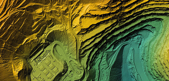
Transforming reality into a digital twin has never been easier. Using only the best 3D scanning equipment, we are able to capture anything the eye can see and turn it into a digital model and point cloud. The accuracy and detail of the laser scanner is unmatched and can be used for engineering, planning, clash analysis and finally construction.
The 3D scanner is setup in various locations throughout a project or around a point of interest. The scanner collects millions of points per second to lay a ‘digital blanket’ on top of everything it can see. After strategically setting up in multiple locations, the data is now collected and the real work can begin. The process of combining and stitching all of these scans together is where all the magic happens. Once our QA/QC process has been completed, we are able to convert this point cloud into a usable model for access in CAD, Navisworks or Revit.
Services include, but are not limited to:
|
|
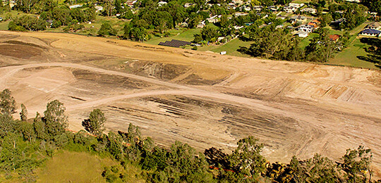
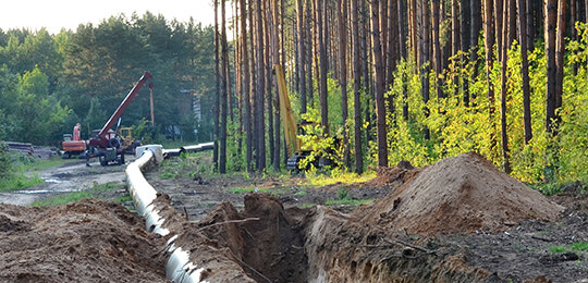
This powerful approach to 3D laser scanning significantly reduces guesswork and rework in the field, ensuring higher accuracy during all project phases. Whether you're overseeing new construction, managing a complex retrofit, or validating structural integrity, our 3D laser scanning for construction provides the reliable data you need – fast. Apex Geomatics offers industry-trusted 3D laser scanning services backed by precision-grade laser survey equipment and experienced field teams. From 3D laser scanning in Calgary to Edmonton and across Alberta, we deliver consistent results for engineering, construction, and 3D scanning for quality control. Our deliverables integrate seamlessly into your existing workflows, helping your team make faster, smarter decisions.
Ready to add accuracy and speed to your next project? Contact Apex Geomatics today for trusted 3D laser scanning in Alberta professionals who deliver field-ready results you can build on.
Head Office
Apex Geomatics Construction Surveyors Ltd.
#132, 2181 Premier Way
Sherwood Park, AB
T8H 2V1
(587) 341-2375
